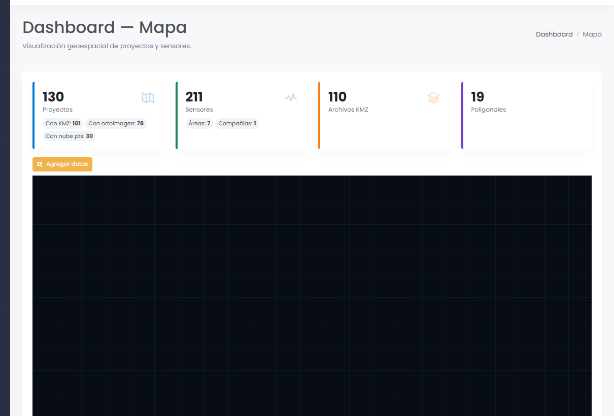
Integrates sensors, geospatial data and critical alerts in a single platform. Field data converted into reliable operational decisions for mining, infrastructure and energy.
Espacio Métrico centralizes distributed sensors, LiDAR point clouds and field records in a single project topographic repository. Real-time GIS dashboard, online piezometry, configurable alerts and full topographic traceability.
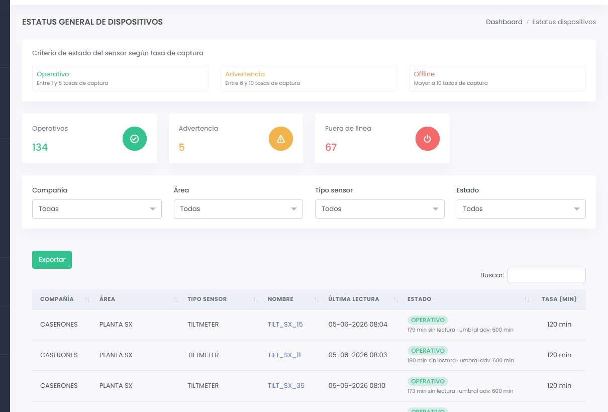
Status panel — 134 operating instruments
Each module works together. Sensor data feeds the charts, charts feed the reports, reports feed the decisions.
Every reading is automatically evaluated against the thresholds set by the technical team. When they are exceeded, the system triggers alerts to the responsible personnel with no manual intervention.
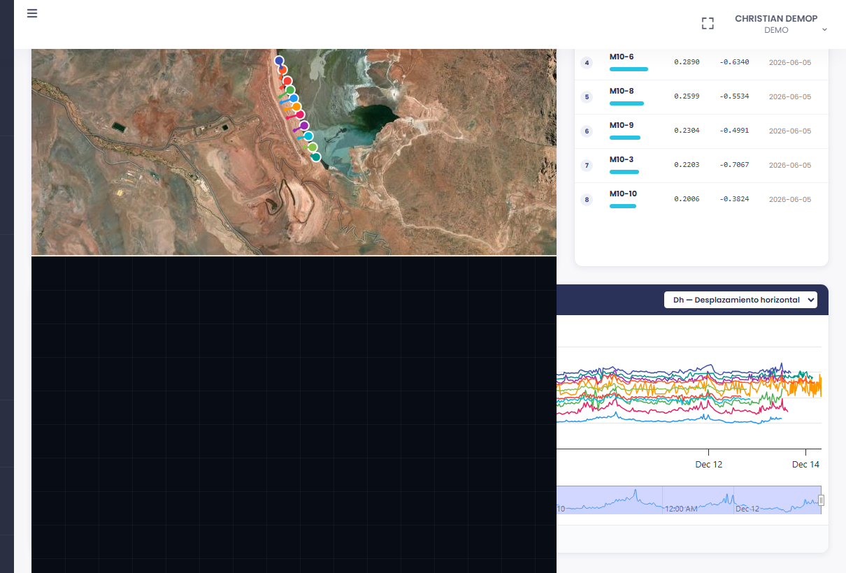
Integration of piezometric network, positional inclinometers and weather station in an active tailings deposit. The system sends automatic alerts to the geotechnical team when water table levels exceed the design threshold.
Espacio Métrico is a SaaS platform for geotechnical, topographic and structural monitoring of critical assets in mining, infrastructure and energy. It integrates field sensors, geospatial data and automatic alerts in a web interface, with no local installation. It is developed and operated in Chile by Surveying Control Systems (SCS).
The platform supports vibrating wire piezometers, positional inclinometers, tiltmeters, extensometers, survey prisms, GNSS receivers, rain gauges and weather stations. Campbell Scientific dataloggers (CR300, CR1000X) and Worldsensing LoRa nodes, among others.
They are the four levels of the standard geotechnical monitoring protocol: N1 is an attention alert, N2 is a preventive alert, N3 is an emergency alert (partial evacuation), N4 is a critical alert (full evacuation and regulatory notification). Each level has a configurable threshold per instrument.
Mainly in mining (tailings, slopes, waste dumps), road infrastructure (high-altitude corridors, bridges, tunnels), energy (dams, reservoirs) and large-scale civil works.
The module evaluates every topographic survey in the project, calculates the age of the coverage per sector and the percentage of the area covered by current material. On active projects this reduces the surface to be surveyed by 30% to 50%.
No. Espacio Métrico is 100% web-based. Access is from any browser, with no software to install. Field dataloggers send data over GSM/LTE, LoRa or WiFi directly to the platform server.
We walk you through the platform using real data from projects similar to yours. No commitment, no installation. The demo takes 30 minutes.